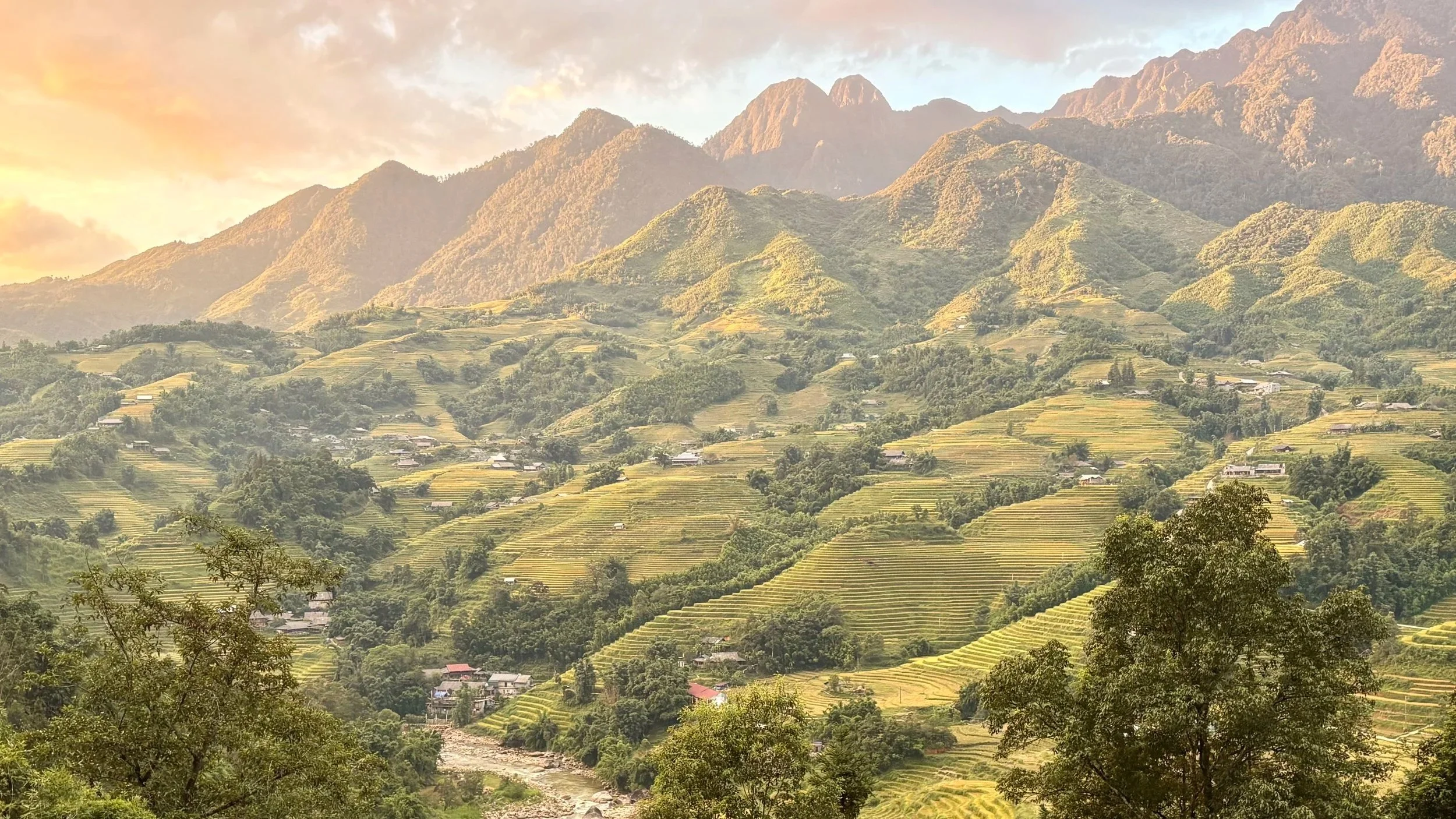
Most people pass through Sapa. Two days, the famous viewpoints, then back on the bus or the night train to Hanoi.
The best of Sapa happens past those stops.
It happens on the local paths — the ones the Hmong and Red Dao people walk every day, the ones buffalo and motorbikes share with you. Those same paths are what make this corner of northern Vietnam one of the great trail destinations in Southeast Asia, and the reason the Vietnam Mountain Marathon takes over the valley every September.
We spent six weeks here and ran nine routes worth writing down: 130 km and 5,350 m of climbing, every one of them starting from Sapa town. We still didn't see everything — we never made it up Fansipan. Six weeks wasn't enough.
You don't need a guide for any of this. A trace on your watch and a bit of resourcefulness, and this place opens up on its own terms.
What Every Run Here Looks Like
Sapa town sits at around 1,500 m, and the high points on these routes push past 2,400 m. Not enough to make you sick, enough to notice on the first climbs. Give yourself a day or two.
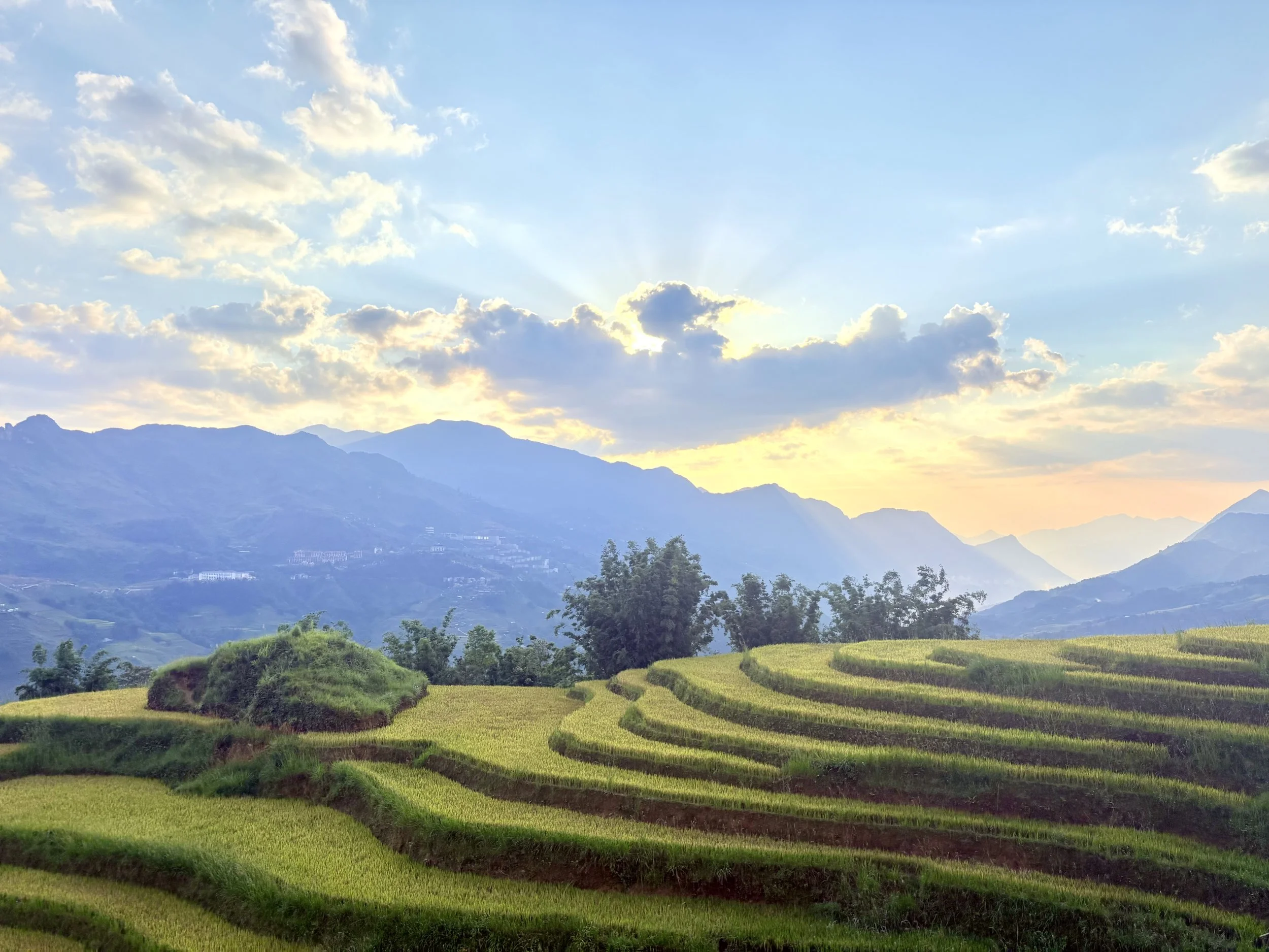
The path changes every kilometer. Concrete strips between houses. Narrow edges along the rice terraces. Then red clay.
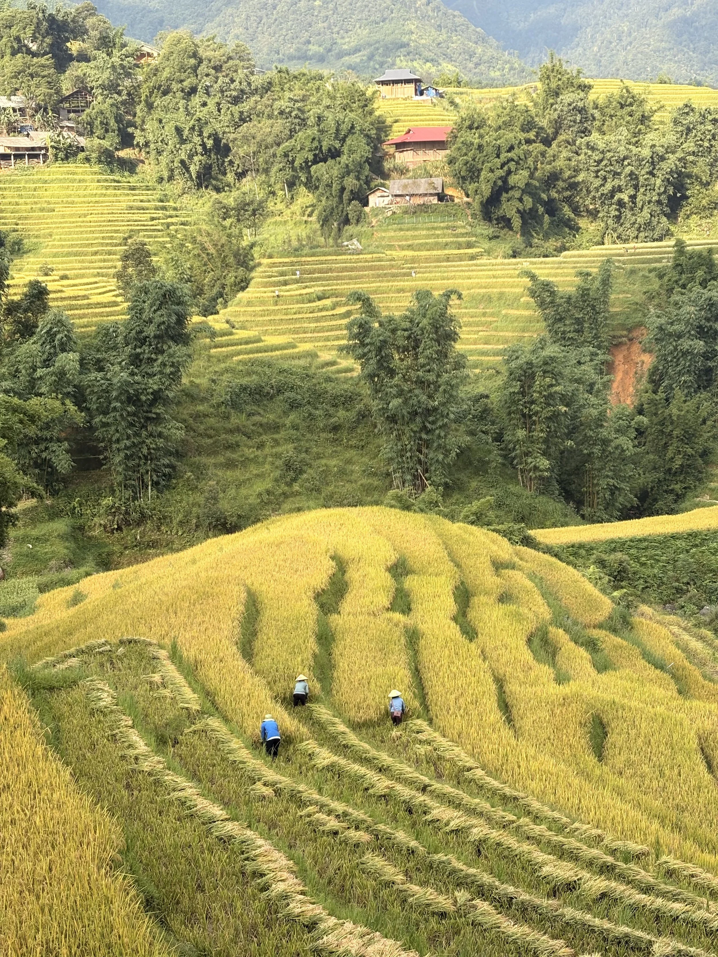
For the best of the scenery, aim for August to October. That's when the terraces turn their deepest gold, just before the harvest. A view that makes you forget the steepest climbs fast.
The weather flips fast. Drizzle in the morning. Blazing sun by afternoon. Then fog rolls in and you're reaching for a jacket. Be ready for several days of heavy rain in a row.
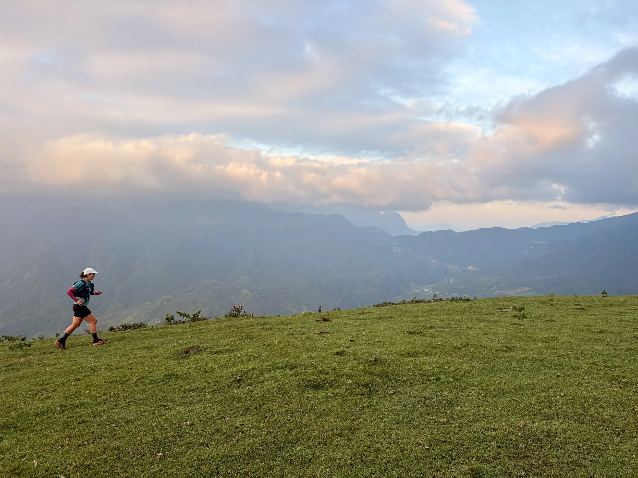
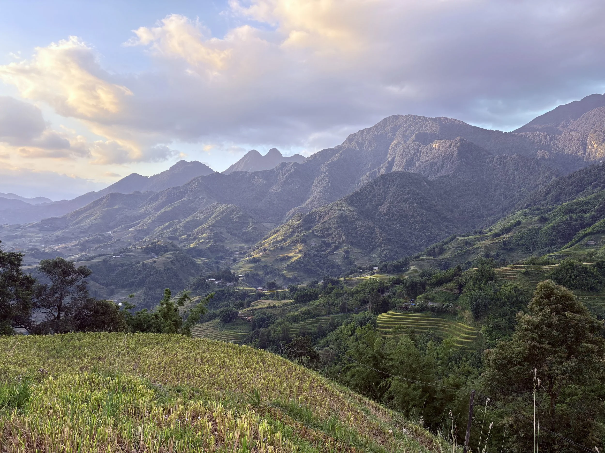
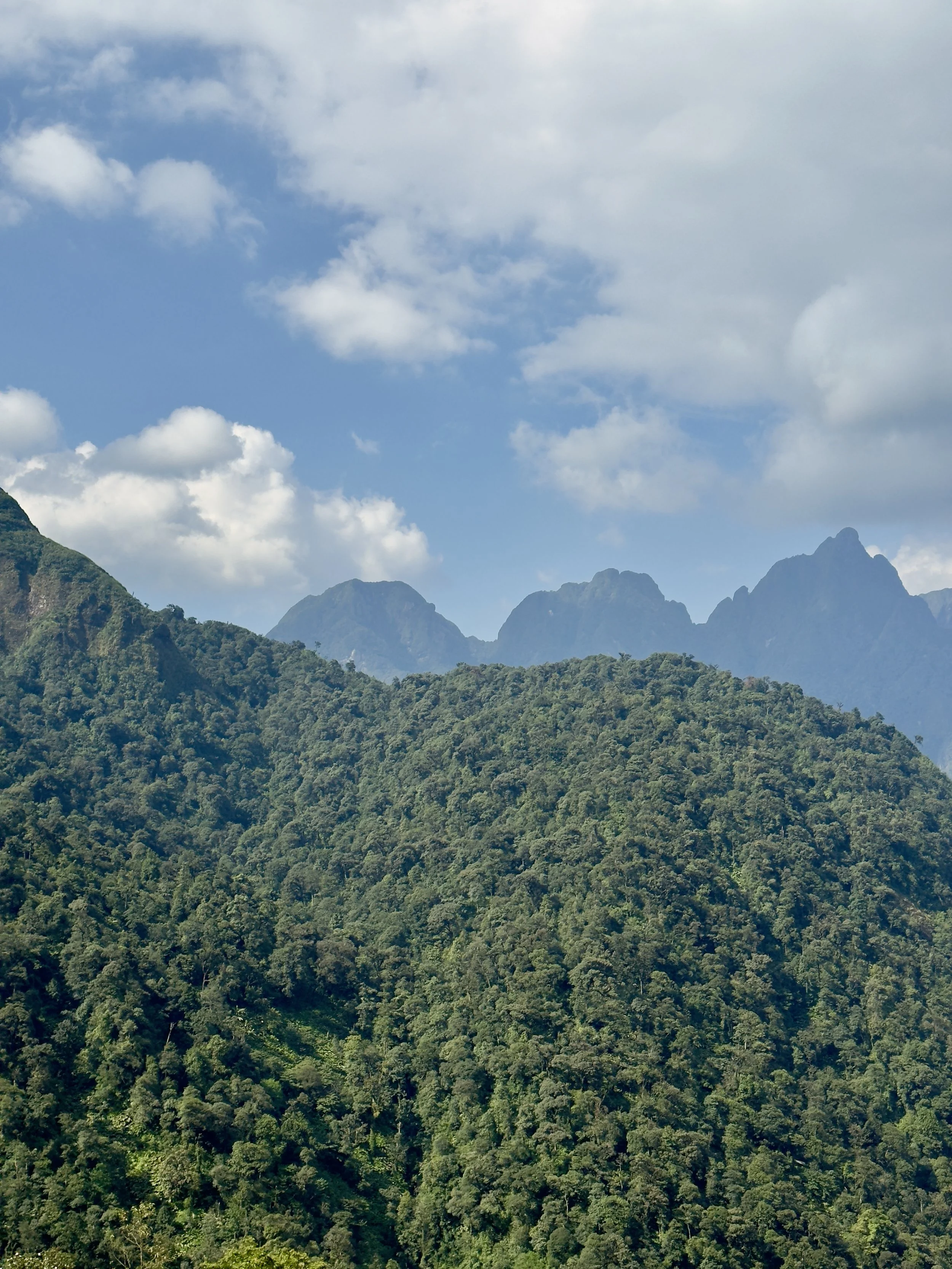
The climbs are steep. The descents ask for focus. Poles earn their place here. Then the trail drops to the valley floor and flattens along the water. And almost everywhere: panoramas. Ridges stacked behind ridges.
You will pass through villages. In places, buffalo hold the trail. Motorbikes too. You slow down and let them through.
Where to Start
New to trail running? Don't open with Doi Bo. Ham Rong gives you real elevation on manageable ground. If you'd rather keep the climbing modest, Sin Chai is perfect. Coming from the road and testing the water? Start with the lake, then the town road loop.
The Nine Routes at a Glance
| Route | Surface | Distance | Elevation | Difficulty | Our time |
|---|---|---|---|---|---|
| 1. Doi Bo Grasslands | Trail | 12.3 km | 858 m | Hard | 2 h 20 |
| 2. Sin Chai to Cat Cat | Trail | 17.5 km | 499 m | Moderate | 2 h 43 |
| 3. O Quy Ho Pass | Road | 16.3 km | 443 m | Moderate | 1 h 58 |
| 4. Hau Thao – Sa Seng Ridge | Trail | 19.1 km | 841 m | Hard | 3 h 28 |
| 5. Ham Rong Mountain | Trail | 16.4 km | 898 m | Moderate–Hard | 2 h 53 |
| 6. Muong Hoa Valley | Road + trail | 21.4 km | 889 m | Hard | 3 h 38 |
| 7. Cat Cat Valley | Trail | 12.3 km | 681 m | Moderate | 2 h 09 |
| 8. Sapa Town Road Loop | Road | 9.9 km | 241 m | Easy | 1 h 10 |
| 9. Sapa Lake Loop | Road | 4.9 km | 6 m | Easy | 33 min |
Times are ours, moving time. Yours will differ — and everything slows down in the rain, when the clay turns.
The Routes
1. Doi Bo Grasslands Loop (Đồi Bò) — The Cow Mountain Trail
Our signature route here, and the one that asks the most of you. A raw, untamable beast of a trail: unpredictable, highly technical, runnable if you have the legs and the experience for it. Open grass slopes at 2,400 m, grazed by the cattle the hill takes its name from. From the ridge, the O Quy Ho pass unwinds below you and Fansipan fills the horizon.
Strava
2. Sin Chai to Cat Cat Valley Loop (Sín Chải / Cát Cát)
Up the western side of the valley through Sin Chai, then down toward Cat Cat and back into town. Terraces stacked on both slopes, water running everywhere, hamlets along the way. Modest climbing for the distance — the hardest part is how often you stop to look.
Strava
3. O Quy Ho Pass Climb (Ô Quy Hồ)
The road challenge. You leave town heading west and climb toward the pass that separates Lao Cai from Lai Chau, the valley dropping away on your left the whole way. Tarmac throughout, no navigation needed, steady gradient. The descent back is fast.
Strava
4. Hau Thao – Sa Seng Ridge Loop (Hầu Thào / Sả Séng)
The long one. Southeast out of town across the Hau Thao ridges, over to Sa Seng, and back through Hang Da. Village paths, terraces, open ridgeline, and a different view at the top of every climb. Carry more water than you think — the exposed sections add up.
Strava
5. Ham Rong Mountain (Hàm Rồng)
The mountain sits right above town, and no single line goes up it. Three trails climb straight from Sapa — one crosses the ticketed park area past a certain hour. Two more come in from the main road at the back: one follows the road that wraps around the mountain, the other drops into the valley first, then climbs.
The trace here takes one of the town trails up, continues over to the back side, then comes down a different access route. Mix your own line. The summit view over the valley is the same whichever way you earn it.
Strava
6. Muong Hoa Valley (Mường Hoa): Road Down, Terraces Back
Run the provincial road down to Ta Van first — 8 km of almost pure descent along the valley. Then leave the asphalt and climb back to Sapa through the terraces and the hamlets on the valley floor, the stream beside you most of the way. Rice paddies at eye level instead of from above, and 875 m of climbing stacked into the return.
Strava: descent · return
7. Cat Cat Valley Loop (Cát Cát)
Down past Cat Cat, deeper south into the valley, then back up into town. Short on paper. Not on the legs — the return climb is relentless and the surface switches between concrete, dirt and clay the whole way.
Strava
8. Sapa Town Road Loop
Paved roads around town and the near slopes. Rolling, no navigation, no mud. The default when the weather turns or the legs need an easy day.
Strava
9. Sapa Lake Loop
Our absolute go-to for an easy shakeout, or when the legs are still recovering from the mountain climbs. It's the one route in town where you can truly switch your brain off.
Strava
Running the Vietnam Mountain Marathon in September? The official course files live on the race website. Ours are training routes, not race recon.
Before You Go
Mud & Leeches. When the trails get wet, the red clay turns into a slip-and-slide and leeches come out to play. Do yourself a favor: swap the shorts for long pants or a good pair of gaiters.
Navigate with a trace on your watch. There are no trail signs. None. English is limited in the villages, so your watch is your guide.
5G works across the valley. Live maps are reliable almost everywhere.
Grab is everywhere, and cheap. Car or motorbike. Getting to a start point or out of a finish is easy — just plan your return before you set off on a point-to-point.
Water. Small local shops along the way make decent resupply points, but carry enough. Don't count on finding one when you need it.
Poles. The climbs and descents here are sporty. Poles can be your best friend.
Season. August to October for golden terraces and the harvest in the fields.
Getting here and staying. Bus, train or private car from Hanoi, all straightforward. In town you'll find groceries for the essentials, cafés, and plenty of restaurants.
Trail Running in Sapa: Common Questions
Do you need a guide to run or hike the trails around Sapa?
No. We ran every route here on our own. There are no trail markers, so you navigate with a trace on your watch — but the paths are established village routes, 5G covers the valley, and Grab can pull you out from almost anywhere.
When is the best time to run in Sapa?
August to October. The rice terraces are gold right before the harvest. Expect rain, heat in the afternoon, and cool mornings in the same week.
How high is Sapa?
The town sits around 1,500 m. The high points on these routes reach past 2,400 m. Give yourself a day or two before a big climb.
Are there leeches on the Sapa trails?
Yes, when the ground is wet. Long pants or gaiters, not shorts.
Can you run in Sapa without a car?
Yes. Every route here starts on foot from Sapa town. Grab covers the valley by car or motorbike if you want to run point-to-point.
Nine Routes, and the Ones We Never Got To
Six weeks. Nine routes worth writing down. And a list of valleys we never reached.
That's the thing about Sapa. You come for two days and leave with photos. You stay, and the place keeps handing you one more ridge, one more path between the terraces, one more morning where the fog lifts at exactly the right moment.

Our one regret: we were injured this time, so we never got to toe the line at the VMM 100k. But we were there anyway, standing out on the course cheering runners through — right before they turned up toward Ham Rong. Watching them head into that climb, on ground we'd run all month, was its own kind of race day.
None of these routes needed a guide, a permit, or a plan made weeks in advance. They needed a trace on a watch and the willingness to get muddy.
So take ours. Run them, break them apart, link two together, find the turn we missed. Then tell us what you found.
UltraNomades – We ®️U.N.